Kinderscoutian
A tribute to Kinder Scout
Kinder Scout is the highest point of both the Peak District and the East Midlands, situated 636 m above sea level along the Pennine Way.
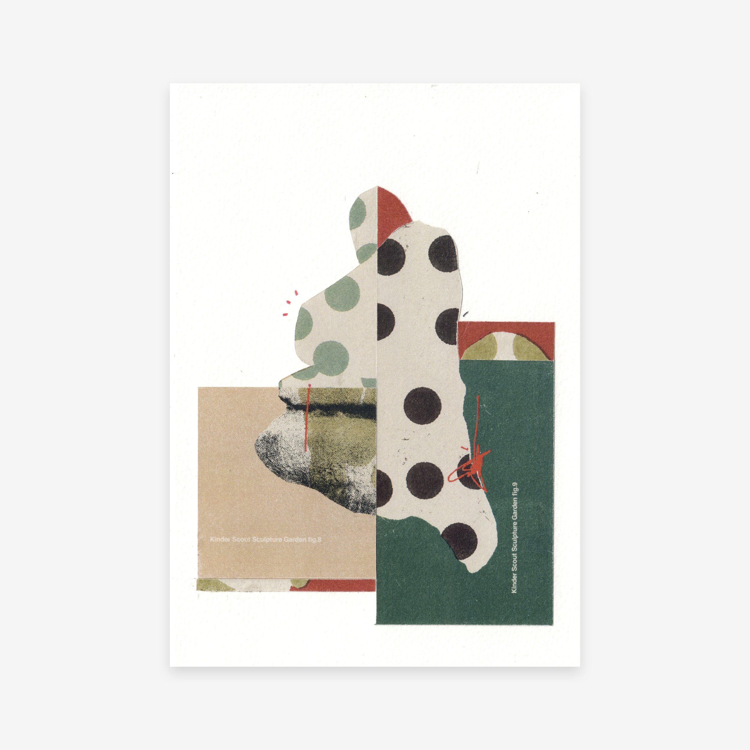
The Woolpacks are an extraordinary collection of gritstone rock formations shaped by centuries of wind and water erosion. Located on the southern edge of Kinder Scout, close to the plateau’s western side, these unique boulders resemble abstract sculptures, with their smooth, rounded shapes and weathered surfaces. The Woolpacks offer a striking contrast to the surrounding landscape, creating an almost otherworldly feel as they rise from the bleak moorland. Hikers are often drawn to their surreal appearance, which is enhanced by the dramatic light and shifting shadows of the moorland sky.
The rocks in and around the Edale basin and Kinder Scout date back to approximately 320 million years ago, during the Carboniferous Period. At that time, Great Britain was positioned along the Earth's equator, experiencing a warmer climate and varying sea levels. Edale was located within the Pennine Basin, which was encircled by isolated upland areas that were gradually eroded. The material from this erosion was deposited into the Pennine Basin, forming the sandstones and mudstones known as Millstone Grit.
*
Collage & pencil on paper
115 x 170mm
2024